Resource Monitoring Blog
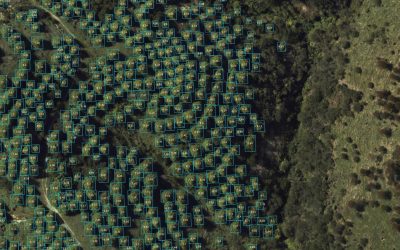
Tree Seedling Detection Using AI
Rapid advancements in digital platforms have continued and include frequent monitoring from satellites to focussed small-scale capture from UAVs. While landscape-level monitoring requirements are fulfilled using satellite imagery and UAVs provide higher resolution...
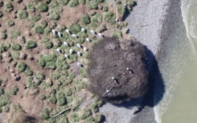
New Cessna-Mounted Imaging System
In late 2020 Indufor in partnership with SKYVUW and Canterbury Aviation purchased a multispectral imaging system to enhance our monitoring capabilities further. The camera, IMU and GPS are mounted on a Cessna which offers a rapid solution for the capture of either...
Analysing Wood Supply Baskets
This is the second post this is the excerpt etc… This is the second post this is the excerpt etc… This is the second post this is the excerpt etc… This is the second post this is the excerpt etc… This is the second post this is the excerpt etc…
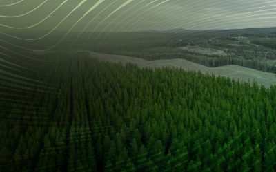
Guyana Develops Decision Support Tools And Web Applications To Improve Forest Monitoring
For the past decade, Indufor has actively supported the Guyana Forestry Commission in developing its forest monitoring system. Today, near-real-time forest change alerts are captured by satellite images and processed to provide actionable information. As the project...


