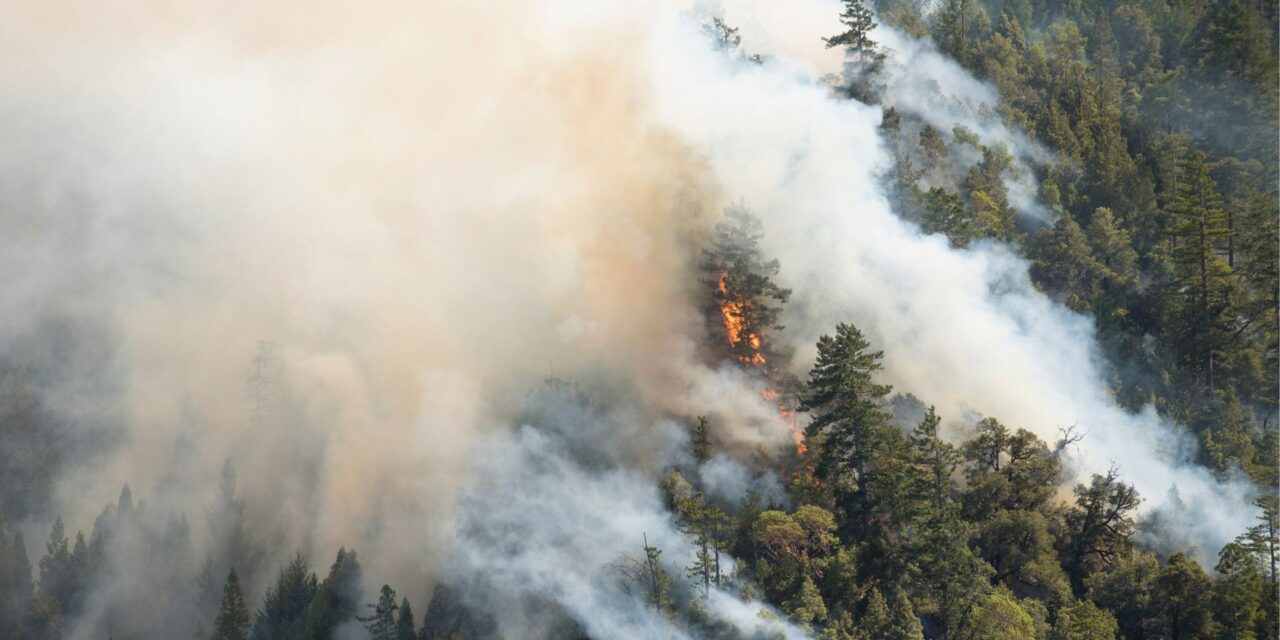
Record-breaking temperatures and months of drought conditions have fuelled a series of massive bushfires across Australia over the past three months. The total extent of these fires in Queensland, New South Wales (NSW), Victoria, Tasmania and South Australia was in the order of 7.5 million hectares (ha), by mid-January.
Post-fire decision-making requires both rapid and accurate mapping of affected areas to determine impacts on conservation areas, and the development of appropriate salvage strategies. The following example shows how open access Sentinel-2 satellite imagery can be applied to visualise and quantify change across forest tracts pre and post-fire.
After selecting a tract, drag the slider to compare the pre (left) and post (right) fire imagery. Indufor’s Canopy Index overlay (under data layers) quantifies the fire impact on the canopy cover. At the same time, the Loss Extent shows the extent of fire damage within the selected tract, along with an estimate of the total area loss per tract.
Clicking on the map will chart canopy condition changes since December 1st 2019