Understanding ‘wood baskets’ and their current and potential future wood supply often underpin forest investment strategies. In some countries, public information on plantation areas, species and tending regimes are compiled from grower surveys. The granularity of such data is sufficient to highlight broad regional trends, but for reasons of confidentiality can omit spatial boundaries, species and regime information. Such information quickly dates, especially in locations where plantation rotations are short, where harvest levels are high, or unexpected fire losses occur.
For example, New Zealand’s National Exotic Forest Description (NEFD), first published in 1985, provides an overview of the plantation estate. The document divides the country into wood supply regions, and within each, the plantation base is summarised by age class, species, tending and wood availability. It is often used to guide investment, policy, and regional development plans.
The NEFD, while a foundation document, is essentially a tabular summary of pre-set wood supply regions, with the underlying data collated via an annual survey return. Logically increased focus is on capturing information for forest estates greater than 40 ha.
Building on recent projects in Australia, Vietnam, and Uruguay, Indufor has advanced methods to extract plantation boundaries automatically, at scale. The approach uses multi-temporal Sentinel-2 10 m resolution data and, if available, LiDAR to estimate vegetation height. For New Zealand, LiDAR data is now becoming available thanks to the Government-funded Provincial Growth Fund (PGF) programme (NZ elevation data).
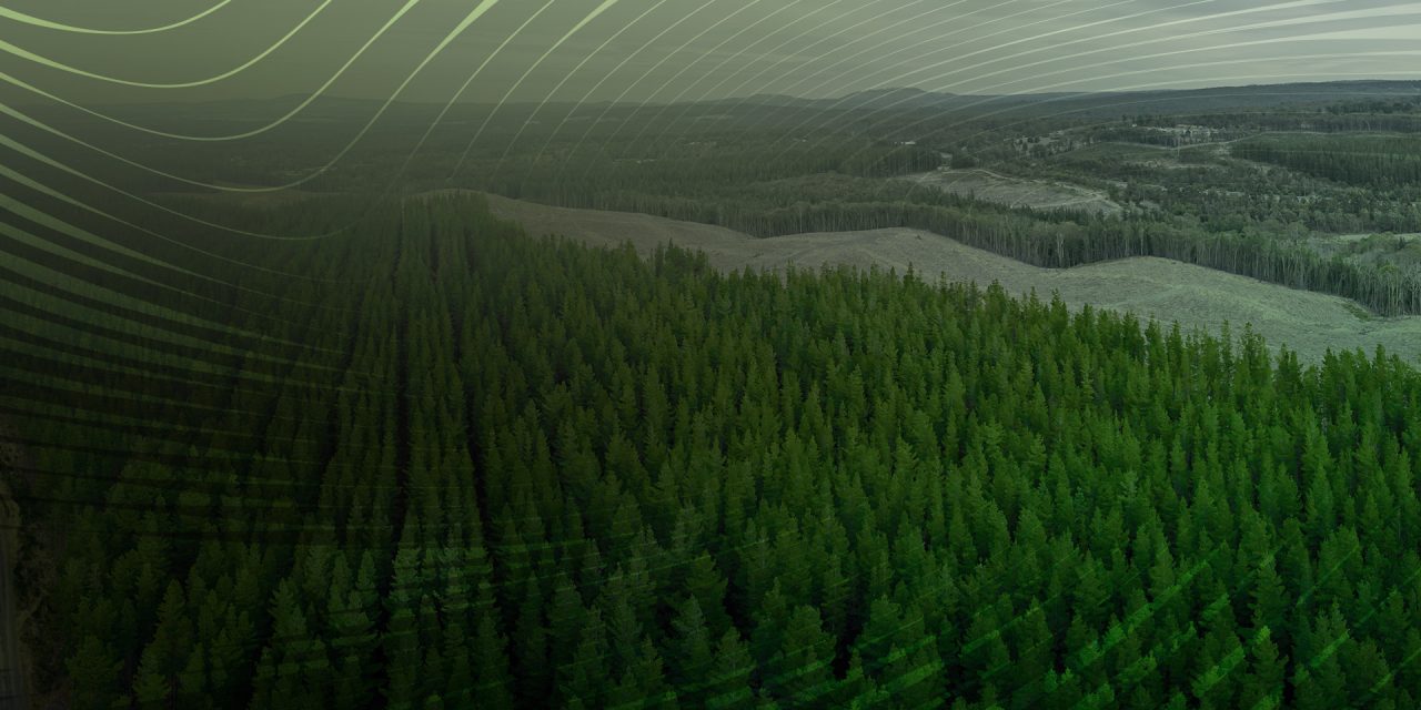
The spatial framework tested over the East coast region of New Zealand employs a random forest model to classify the landscape into exotic plantations by species, native, harvest, new planting, and bare land classes.

Within the exotic plantation areas, the LiDAR data is processed to provide metrics by feature – including productivity measures such as Mean Top Height (MTH), Total Stem Volume (TSV), and predictions of plantation age. The following example shows the information for a selected point and spatial variability for two metrics, predicted age and volume for a woodlot located within the study area.
Generating NEFD-type information that is spatial and easily updated for change is an appealing solution. The framework developed highlights the potential of such information, especially once plantation boundaries are defined. From then on, these are easily updated to capture, for example, harvest activities using satellite imagery.
A further advantage is that, unlike the static NEFD, the analysis includes small woodlots (below 40 ha) within user-specified wood baskets, supporting a more localised analysis. Access to such a dataset would support better-informed decisions, such as understanding supply dynamics and forecasting future infrastructure requirements. This information is often required to support sector growth, which may include port upgrades, roading, or future labour requirements.
Click here to listen to Pete Watt and Andrew Holdaway discuss this approach at the Forestry Remote Sensing Cluster Group.