With the introduction of environmental policies comes an increasing need to monitor changes across landscapes. While high revisit satellite data is touted as providing such a solution; it is often difficult to cope with the volumes of data, filter and interpret changes in a structured way. Indufor’s monitoring system, ‘MO’ presents a rapid, scalable approach to landscape-level change detection. ‘MO’ is designed to provide actionable information that can be used to track and quantify change across broad areas. Lastly, while this demonstration tracks harvesting activity, the solution is flexible. For example, it can be customised to monitor any event that results in a change relative to a baseline threshold such as plant flowering or land clearance activities.

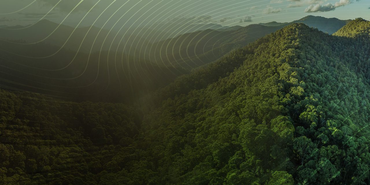
Using repeat satellite observations to create change alerts
In this example, we monitor forest harvesting activity across a target area. We use a flexible framework that subdivides an area into hexagons; each is actively monitored for change using five daily Sentinel-2 imagery. When a significant and sustained change occurs within the unit, an alert is generated, and an interactive online dashboard is updated to reflect the change.
Examples of changes that will trigger alerts include harvesting, bushfires, windthrow and significant stresses that cause canopy thinning or loss.
This process allows large-scale monitoring to be streamlined, eliminating the need for cumbersome manual image search and analysis. Over defined areas, these routines track land cover changes and generate alerts which assist in identifying the date of change and its progression. By generating image collections and cloud and cloud shadow masking, the monitoring system makes the most of the available imagery, allowing it to be used effectively in locations where cloud-free scenes may be rare.
The following Dashboard shows an example of this process run over a subset of an area known as the “Green Triangle”. This area is located along the coastline of South Australia and is one of Australia’s major forest regions. It has extensive plantation softwood and hardwood resources. The area of interest, which is in excess of 51 000 ha is divided into 5 ha hexagon-shaped units. The monitoring process spans from January 2019 to May 2020. Those hex units which have an alert within the monitoring period are highlighted. For each alert, a summary is provided showing date(s) of change, number of alerts and a temporal index profile.
‘MO’ provides actionable information that can be downloaded to a desktop GIS or reviewed via a dashboard. The alerts generated are designed to support:
- Updating regional woodflows.
- Agencies to monitor compliance.
- Planners and policy makers.
- Land managers to demonstrate sustainable land management.
- Project promoters monitoring progress and outcomes.
To view an interactive version of the dashboard, click the image below.
